
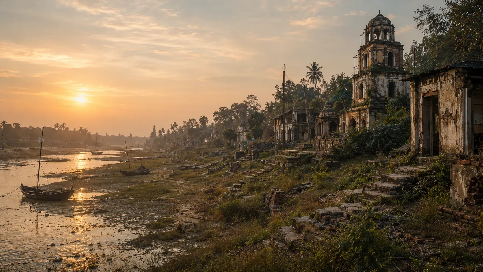
The River That Refused to Disappear
Once, a river ran through southern Bengal carrying boats, merchants and the wealth of the delta towards the sea.
Today, much of that river has disappeared.
In places, the old Saraswati survives only as a narrow channel, a canal or a stretch of water that looks too ordinary to belong to a great river. Roads have crossed it. Fields have grown beside it. Settlements have spread across its former banks.
And yet the river has not completely disappeared.
History remembers it. Maps remember it. And the land still carries its shape.
This was the Bengal Saraswati—not the ancient Saraswati of northern India, but a river of Bengal that once formed an important part of the Bhagirathi river system.
For centuries, it helped connect the interior of Bengal to the sea.
The story it left behind is not only the story of a vanished river.
It is a story of the prosperity, commerce and changing landscape of southern Bengal.
So how do you find a river that is no longer there?
You begin by looking at the maps.
The river that old maps refused to forget
Some of the most evocative evidence comes from maps drawn when the Saraswati was still part of the landscape.
A map associated with Van Linschoten from 1616 places Satgaon beside a river. A few decades later, a 1660 map by the Dutch cartographer Van den Broucke explicitly marks a Saraśvatī R. branching from the river system at Tribeni.
Other European maps preserve the same broad geography.
These were not maps of an imaginary ancient river. They were attempts to describe a landscape that their makers, informants or earlier sources had actually encountered.
They are not perfectly accurate. Old maps contain distortions, misplaced settlements and uncertain coastlines.
But something remarkable happens when different maps begin telling the same story.
A river keeps appearing.
Tribeni keeps appearing.
Satgaon keeps appearing beside it.
The river may have disappeared from the landscape, but it remained alive on paper.
A river leaves more than a name
Maps are only the beginning.
A river does not vanish simply because its water stops flowing.
Its banks remain. Its sediment remains. Its old bends can remain buried beneath fields and settlements. Low-lying land may follow the path of a former channel. A village road may run along an embankment that was once a riverbank.
The landscape becomes a kind of unfinished memory.
This is where modern technology becomes useful.
Satellite imagery can reveal faint traces that are difficult to recognise from the ground. A former channel may appear as a darker or wetter strip of land. Vegetation can grow differently along an old watercourse.
Remote-sensing tools such as the Normalized Difference Water Index (NDWI) can help identify variations in surface water and moisture.
Digital elevation models offer another clue.
An abandoned river channel may sit slightly lower than the land around it. Old natural levees can survive as faint ridges.
From the ground, these differences may look meaningless.
From above, they can begin to form a pattern.
A curve.
Then another.
And slowly, the outline of a river begins to emerge.
When an old map meets a satellite image
This is where the detective work becomes especially interesting.
Researchers can take a historical map and georeference it—aligning its old geography with locations that can still be identified today.
Then the old map can be compared with satellite imagery and modern elevation data.
A river bend drawn centuries ago may correspond to a low-lying strip visible today.
An old settlement may sit beside a channel that has since narrowed into a canal.
A place once described as a river landing may now stand surprisingly far from any substantial river.
The match is rarely perfect.
It cannot be.
The maps themselves were imperfect, and the delta was changing even while the maps were being drawn.
But researchers are not looking for a perfect overlay.
They are looking for patterns that survive the centuries.
The Saraswati’s broad course—from the Tribeni area southwestwards towards the Hooghly—can be reconstructed through this combination of historical cartography, satellite imagery and terrain analysis.
The map begins to speak to the land.
Then the evidence goes underground
There is another archive beneath Bengal’s surface.
Sediment.
An abandoned river can leave behind layers of sand, silt and organic material that differ from the surrounding soil. Geologists can extract cores from suspected palaeochannels and examine those layers.
The river that cannot be seen may still be present in the ground.
Dating techniques can help establish when sediments were deposited. Optically Stimulated Luminescence (OSL), for example, can help estimate when mineral grains were last exposed to sunlight before being buried.
Pollen and microfossils can provide further clues about the environment that existed around the channel.
The reconstruction therefore does not depend on one spectacular discovery.
It is built piece by piece.
A seventeenth-century map.
An eighteenth-century survey.
A faint depression visible from space.
A sediment layer beneath a field.
A buried riverbank.
Each is incomplete.
Together, they become persuasive.
The history hidden inside a vanished river
And that is what makes the Saraswati so compelling.
Finding the river is not simply an exercise in historical cartography.
Because once the river begins to reappear, so does the world around it.
The port of Saptagram.
The merchants who travelled through it.
The boats that carried Bengal’s produce towards the sea.
The settlements that grew along its banks.
The ghats where people once arrived and departed.
The religious landscapes around Tribeni.
The commercial connections that made parts of southern Bengal prosperous.
A vanished river can bring an entire vanished landscape back into view.
That landscape is easy to overlook today.
A person travelling through southern Bengal may see a canal, a low field, a settlement or a narrow watercourse without realising that the landscape once belonged to a much larger river system.
But the old maps know better.
They preserve the river before the river became a memory.
The river is still telling its story
The Saraswati did not die on a particular day.
Its channels gradually silted. Its flow weakened. Its importance declined. Parts of the old course survived in altered forms.
That is why its traces are scattered rather than spectacular.
A name here.
A map there.
A strange bend in the land.
A buried layer of river sediment.
A surviving stretch of water.
None of them is the whole Saraswati.
But together, they allow us to ask a more interesting question than simply where the river went.
What kind of Bengal existed when the river was alive?
That is the story hidden inside the maps.
The Saraswati may now look like a forgotten watercourse—or, in places, hardly a river at all.
But once, it was part of the geography that carried southern Bengal’s wealth towards the wider world.
Today, we have to reconstruct it backwards: from maps to land, from land to sediment, from fragments to a river.
And perhaps that is why the Saraswati remains worth searching for.
The river disappeared. Its story did not.