
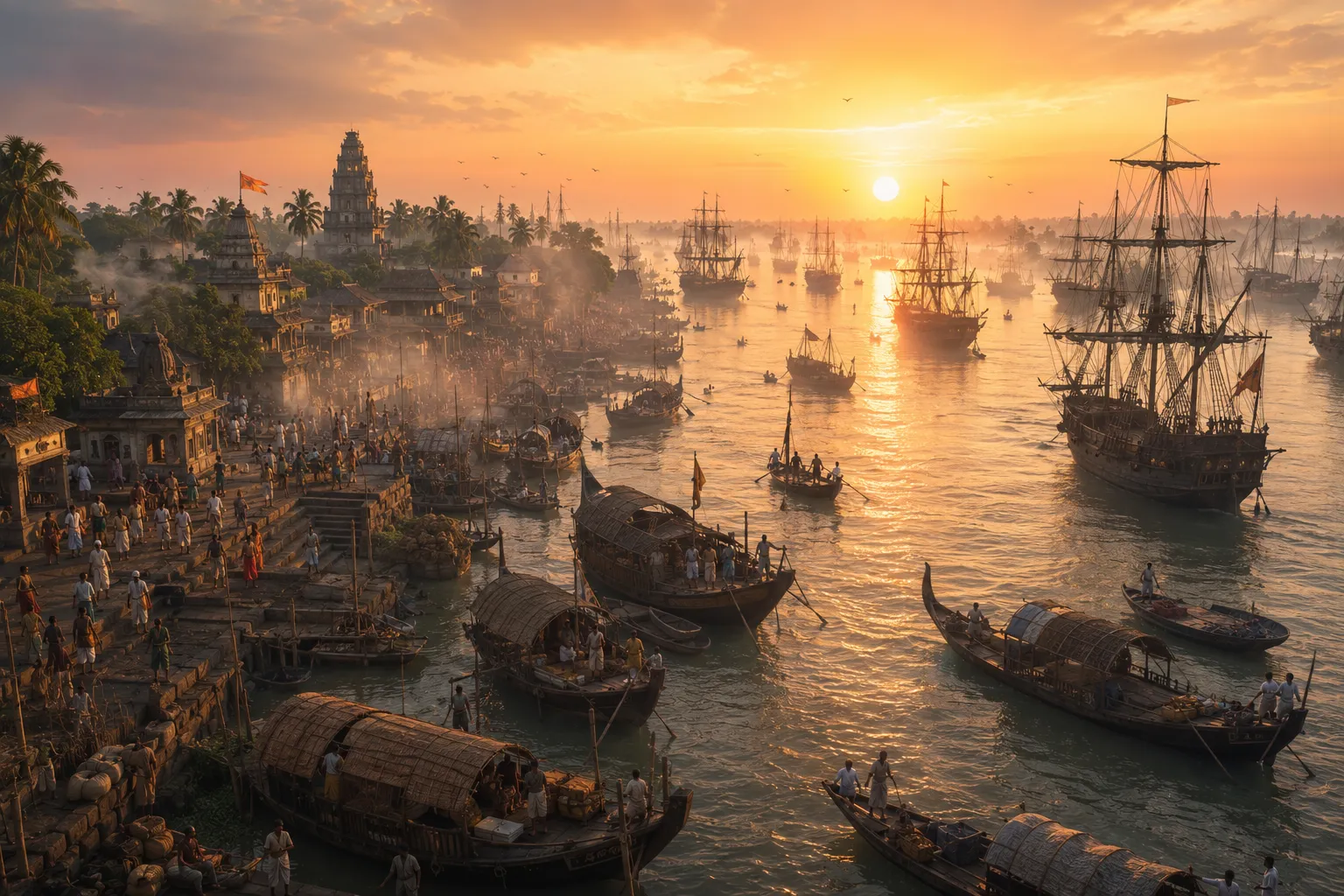
The River That Made Saptagram
There was a time when one of Bengal’s great gateways to the sea was neither Kolkata nor even Hooghly.
It was Saptagram, or Satgaon—a city whose name has nearly disappeared from the modern landscape, but whose fortunes were once tied to one of Bengal’s great rivers.
That river was the Saraswati.
For centuries, it carried the wealth of Bengal towards the sea. When its waters were navigable, Saptagram could connect an inland landscape of rice fields, textile production and other commodities with merchants and ships moving across the Bay of Bengal.
The river did not merely pass the city. It made the city possible.
A port deep inside Bengal
Saptagram stood beside the Bengal Saraswati, a major distributary of the Bhagirathi system. The river emerged near Tribeni, travelled southwest through the delta, and eventually rejoined the Hooghly near Betore.
That geography gave Saptagram an unusual advantage.
It did not need to sit directly on the coast to become a maritime centre. Bengal’s waterways brought the sea inland.
The surrounding countryside supplied goods—rice, textiles, sugar, lac and other commodities—while the river provided the route by which they could move towards the Hooghly and the Bay of Bengal.
This was one of the defining possibilities of the Bengal delta: a river could turn an inland settlement into a port connected to the wider maritime world.
By the 13th and 14th centuries, Saptagram had become one of Bengal’s principal commercial centres. In 1328–29, under Muhammad bin Tughluq, Satgaon was made an important administrative and mint centre.
Its commercial importance continued into the Mughal period. Ain-i-Akbari recorded Satgaon as a sarkar with substantial revenue, including around 30,000 rupees from its port.
But a port was never simply a place where ships arrived.
It was a whole urban world built around movement.
Merchants, boatmen, craftsmen, warehouse workers and agricultural producers all depended on the river. Settlements and religious institutions grew around this commercial landscape.
Saptagram was a city organised around the movement of goods, people and water.
When the river connected Bengal to the world
By the early 16th century, Saptagram had become part of an increasingly international commercial network.
Portuguese visitors encountered a prosperous city whose river connection allowed it to participate in maritime trade. Tomé Pires, writing in the early 1500s, described Satgaon as a good harbour and a prosperous city with many merchants.
Other European accounts likewise placed the port within the wider commercial networks of the Indian Ocean.
But there was a condition beneath all this prosperity.
The river had to remain navigable.
A port could have merchants, warehouses and valuable goods. It could have political importance and access to overseas markets. But if commercial vessels could no longer reach it efficiently, its advantage began to disappear.
And that is what happened.
The river begins to change
The Bengal delta is not a fixed landscape.
Rivers carry sediment. Channels silt up. Courses shift. Water moves from one channel to another.
The Saraswati was part of this constantly changing system.
By the 15th and 16th centuries, evidence of increasing silting was becoming visible. The river’s navigability gradually deteriorated.
This was not a single catastrophe.
There was no one day when Saptagram suddenly ceased to be a port.
Instead, its river became progressively less useful.
Large vessels could no longer travel as easily as they once had. European accounts describe cargo being transferred downstream to smaller vessels before continuing towards Satgaon.
The port still functioned.
But the geography that had once made it exceptional was beginning to work against it.
The changing geography of Saptagram
| Period | What changed | | ----------------------- | | | 13th–14th centuries | Saptagram emerged as a major commercial centre | | Early 16th century | The port was connected to expanding Indian Ocean trade | | 15th–16th centuries | Silting increasingly affected the Saraswati’s navigability | | Later 16th century | The Hooghly became increasingly favoured as the main channel | | Early 17th century | Saptagram’s commercial and political importance had sharply declined |
Trade follows the water
As the Saraswati weakened, another channel became more important.
The Hooghly increasingly carried the main flow of the Bhagirathi system, while the Saraswati lost discharge.
And trade began to follow the water.
Hooghly, farther downstream, offered increasingly useful access to ocean-going vessels. European merchants established themselves there, while Saptagram’s location became less advantageous.
The shift was gradual.
Saptagram did not simply disappear. Its commercial importance persisted for a time, even as the direction of movement became increasingly clear.
Then came an administrative change that reflected the deeper geographical transformation.
After the Mughal conquest of Hooghly in 1632, customs activity was transferred from Satgaon to Hooghly.
That was more than a bureaucratic decision.
The commercial centre was moving towards the river that could still carry the traffic.
Saptagram lost traffic, revenue and political importance. Its commercial landscape gradually became rural.
A city the river left behind
Saptagram’s decline is unusual because nobody needed to destroy it.
There was no single invading army that erased the port from the map.
Its fundamental advantage simply disappeared.
The Saraswati had once carried Bengal’s agricultural wealth towards a point where it could meet merchants from the wider maritime world. As the channel became shallower and less reliable, that connection became increasingly difficult.
Trade could move elsewhere.
And it did.
Hooghly rose as Saptagram declined. Later, the commercial world would move further south towards the city that became Calcutta.
But Saptagram had already demonstrated something fundamental about Bengal’s history:
A city’s greatness could depend on the temporary life of a river.
Today, the surviving remains of Saptagram sit within a landscape where its maritime past can be difficult to imagine. The Sayed Jamaluddin Mosque, built in the early 16th century, belongs to the final flourishing phase of the old port. Historical maps preserve another memory of the river system that once surrounded the city.
The Saraswati survives only in fragments.
Yet its disappearance tells us something that ruins alone cannot.
Saptagram did not merely stand beside a river. It became Saptagram because that river connected Bengal to the world. When the river changed, the city lost the geography that had made it great.