
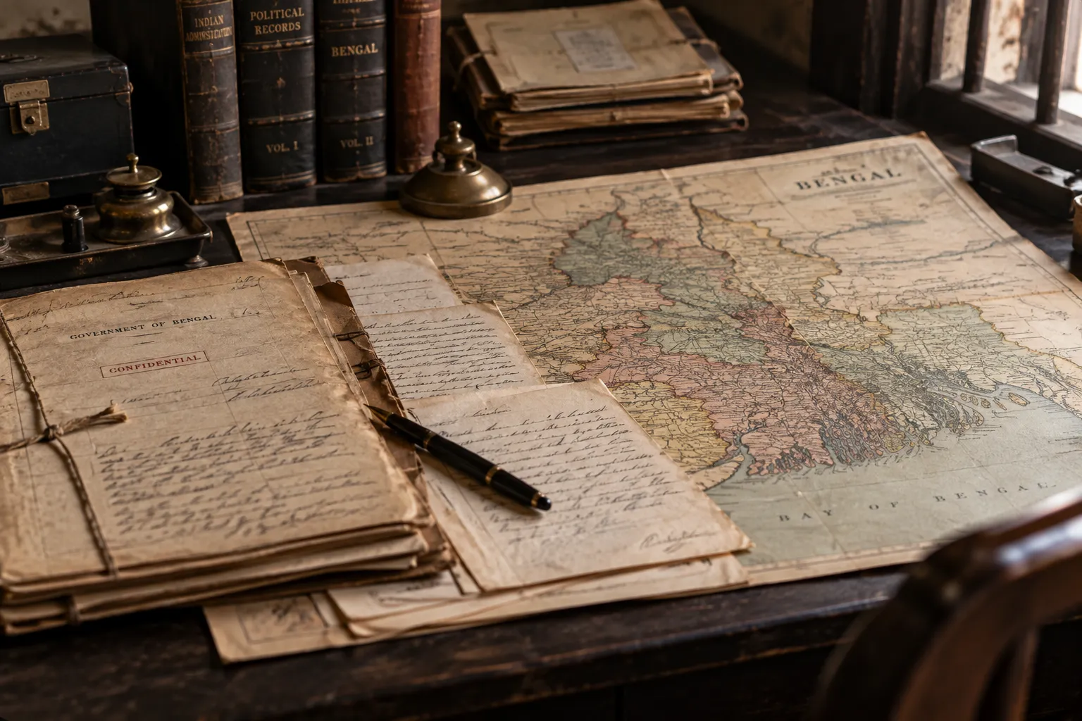
A map can make a political decision look almost harmless.
There are lines, districts, names. Perhaps a neat boundary or two. Nothing that looks particularly dangerous.
But among the private papers surrounding the Partition of Bengal, the people drawing those lines were thinking about what would happen to Bengal’s political power once the province was divided.
One sentence, written by H. H. Risley in a confidential note on 7 February 1904, makes that difficult to miss:
“Bengal united is a power; Bengal divided will pull in several different ways. That is perfectly true and is one of the merits of the scheme.”
The sentence lands differently when read in its original setting. The British did have a genuine administrative problem. Bengal was enormous, and governing its distant eastern districts from Calcutta was difficult. Proposals to reorganise the territory had also been circulating for years.
But the private correspondence shows that administration was not the only calculation.
Go back to March 1903 and the trail is already there. Sir Andrew Fraser argued for transferring Dacca and Mymensingh to Assam. Sumit Sarkar, drawing on the Government of India’s Home Public Proceedings preserved at the National Archives of India, identifies Fraser’s intervention as an important point at which the political consequences of the proposed transfer entered the discussion directly. Fraser argued that Dacca and Mymensingh would give “far less trouble” under Assam and that Eastern Bengal would be less prominent in Bengal administration.
Then comes Curzon.
In his minute of 1 June 1903, Lord Curzon recorded Fraser’s view that separating the eastern districts—described as a centre of the “purely Bengali movement”—would bring advantages that outweighed the drawbacks.
That distinction matters. These were Curzon’s words recording Fraser’s argument, not a direct quotation from Fraser. And the politically sharper reasoning in the private discussion did not survive unchanged into the public presentation of the scheme, which leaned much more heavily on administrative convenience.
Then Risley returns, this time in December 1904, with even less room for ambiguity. In another confidential note, he wrote that one of the government’s main objects was to “split up and thereby weaken a solid body of opponents to our rule.”
None of this makes the administrative problem imaginary. Nor does it prove that every official involved in the partition was pursuing one single motive. What it shows is more interesting: political consequences were being considered alongside the practical business of governing a huge province.
That is perhaps the unsettling thing about administrative maps. They look as though they merely describe power. Sometimes they help rearrange it.
In 1905, Bengal was redrawn on paper. The private papers show that the line was never only about where one district ended and another began. It was also about what might happen when a province that was politically powerful as a whole was made to pull in different directions.